A classroom/laboratory activity to learn about the rate of sea-level rise and the response of shorelines to sea-level change.
Students will examine and analyze sea-level change data and shoreline response for the coast of California including Point Reyes National Seashore. They will learn about coastal vulnerability and will calculate the coastal vulnerability index (CVI).
Use this tool to help your students find answers to:
- What are the factors that determine the vulnerability of a coastline to flooding caused by rising sea-levels?
- How is the coastal vulnerability index calculated?
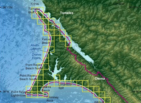
Image credit: University of South Florida