A visualization and classroom/laboratory activity to learn about regions and communities that are affected by the problem of climate refugees and environmental migration because of the effects of climate change.
Students will apply mapmaking and visualization techniques to learn about locations that are becoming uninhabitable and communities that are being forced to leave their homes because of climate change. They will understand and discuss climate change-related problems such as inundation, erosion, drought and desertification, conflict, and the strain on resources caused by climate change.
Use this tool to help your students find answers to:
- What are the climate change-related problems that threaten the existence of some regions in the world? Provide examples of some such regions.
- What are the challenges faced by climate refugees/environmental migrants?
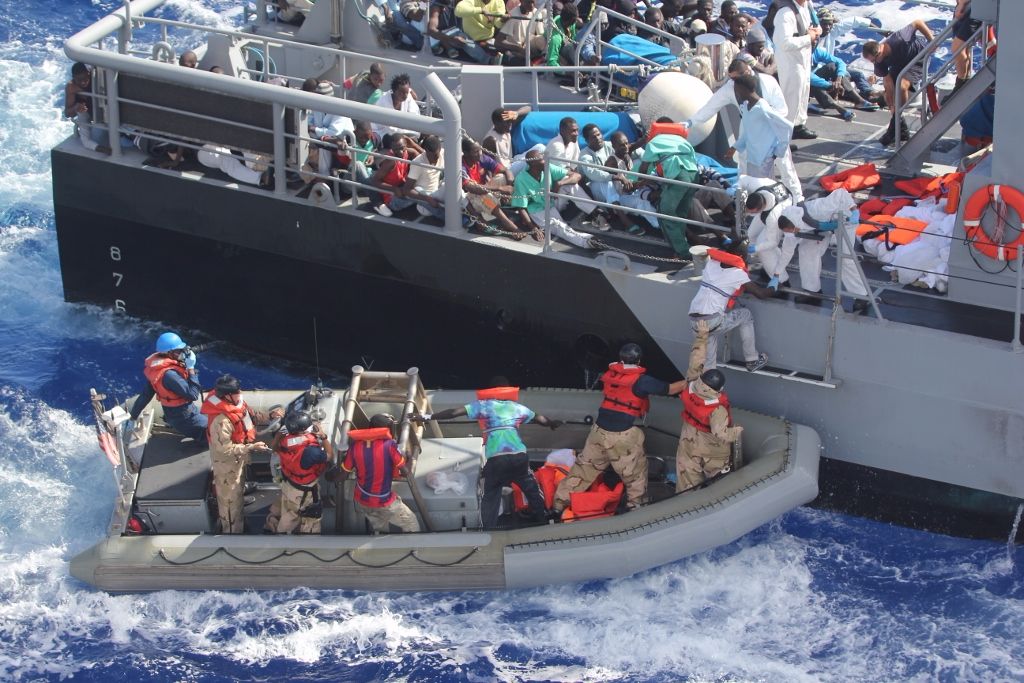
Image credit: US Navy